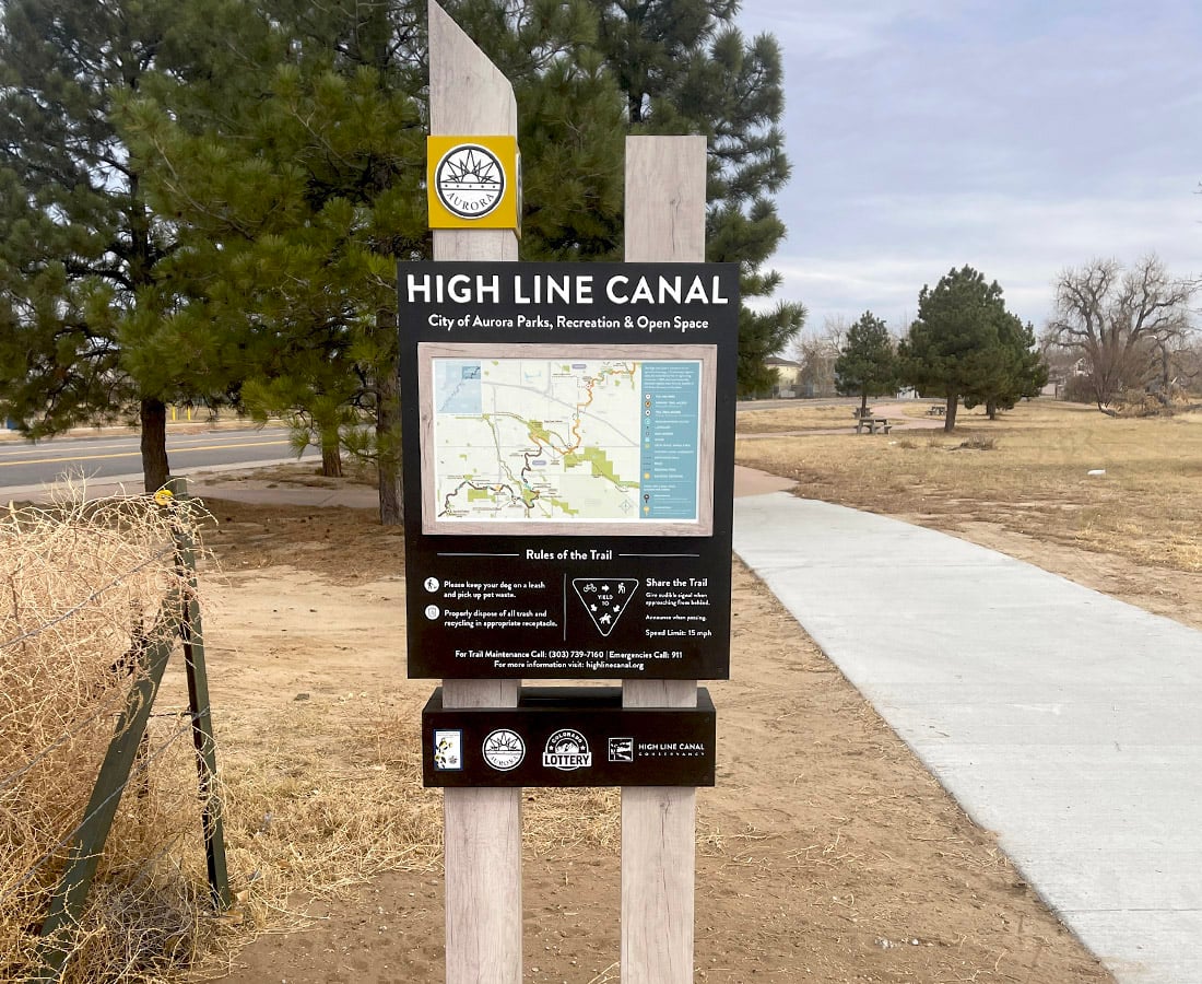
Walk the Nature Preserve Amble stretch of the High Line Canal on any weekday morning and you'll pass a scatter of survey stakes and a half-buried pipe trench near Marjorie Perry Nature Preserve. Most people assume it's routine trail maintenance. It isn't. It's the first visible piece of a plan to give this section of the canal something it has effectively never had: a water supply that doesn't depend on the canal itself.
That sounds backwards for a waterway literally named "canal." But the ditch was dug to move South Platte River water toward farmland, not to keep cottonwood trees and wetland grasses alive along a recreation trail. Denver Water still owns and operates it, and the High Line Canal still begins at a diversion dam on the South Platte River upstream of Waterton Canyon, running 71 miles across the metro area as a designated National Landmark Trail. But the flow through it was never engineered for landscaping, and the mature tree canopy that makes this particular stretch feel like a shaded oasis has been living on borrowed water for decades. Greenwood Village is now doing something about that, and the timing of the work means residents who walk this trail regularly will notice real physical changes on their next few outings.
What's Actually Being Built at Marjorie Perry
The project has a formal name most walkers will never see on a trailhead sign: Miles 26-33, Greenwood Village Irrigation System Design. The description is more useful than the name. The Village is designing an irrigation system meant to eventually cover the entire reach of the canal within its borders, fed by a groundwater well rather than the canal's own unreliable flow. The first phase is already underway around Marjorie Perry Nature Preserve. The second phase, which extends the system further, could begin construction this fall.
That preserve sits at the heart of Segment 12, one of two stretches that define most Village residents' experience of the canal. The two segments feel almost like different trails:
- Segment 11, the Greenwood Village Amble (Franklin Street to the Orchard Road Trailhead): a quiet, country stretch of horse pastures and bridle paths, popular with equestrians as well as runners and dog walkers, surfaced in crushed gravel rather than pavement.
- Segment 12, the Nature Preserve Amble (Orchard Road to Belleview Avenue): the wildlife-watching and Front Range views stretch, running through Marjorie Perry Nature Preserve itself, where the well-fed irrigation system is being built.
The distinction matters because the two segments have different landscapes. Segment 11's horse-country landscape doesn't depend on a managed canopy the way Segment 12 does. The nature preserve's value as a destination for birding and wildlife viewing rests on wetland habitat and shade trees that need a dependable water source in a way that gravel and open pasture do not.
The Pond at the Cherry Hills Line
Keep walking north past the Belleview trailhead and you cross into Cherry Hills Village, where a second, related project just wrapped. Quincy Farm sits along the canal south of Quincy Avenue, and its 1930s irrigation pond had spent years quietly filling with sediment until it was barely more than a wet depression. The pond was dredged in fall 2025 and replanted in spring 2026, a project funded by the City of Cherry Hills Village with matching support from the High Line Canal Conservancy. The historic wooden footbridge connecting Quincy Farm to the trail was rebuilt to match its original character rather than swapped for something modern.
For anyone walking the Village's stretch of the canal, the effect is the same story told twice: the water that used to arrive automatically through the ditch is being replaced, piece by piece, with something engineered to actually last. A restored 90-year-old farm pond and a new groundwater well upstream are solving the same underlying problem from opposite ends.
Why This Is Unusual, Not Routine
It helps to see this against the scale of the whole trail. Arapahoe County alone stewards roughly 45 of the canal's 71 miles, stretching across six jurisdictions from Cherry Hills Village to Aurora. Most of that mileage receives basic maintenance. A city designing and funding its own dedicated irrigation infrastructure, covering its full reach of the canal rather than patching individual trouble spots, is not the norm along this trail. It's the kind of capital commitment that shows up in a five-year parks budget, not a routine repair order.
For residents, the practical version of that story is simple: the tree canopy and wetland habitat that make Segment 12 feel different from a typical suburban path is not an accident the trail happened to hold onto. It's now backed by an actual water source built to keep it that way, rather than left to whatever the canal happens to be carrying that season.
Choosing Your Stretch This Fall
If you're picking a route for a Saturday morning walk, the two segments still serve different moods. Segment 11 stays the pick for open sky, horse pastures, and a wide gravel path that handles strollers and bikes without much fuss. Segment 12 is the one to choose for shade, birdlife, and the kind of quiet that comes from mature cottonwoods rather than open pasture, and it's the stretch where you're most likely to see the irrigation work in progress this fall.
Either route puts you within easy reach of the Landmark's Saturday Fresh Market, running through the end of September from 10 a.m. to 2 p.m., a reasonable stop if your walk wraps up before early afternoon.
None of this changes what the canal looks like from a car window. It changes what it feels like to actually walk it, which is the only version of the trail that matters if you already live here.
If you're weighing a move within Greenwood Village or just want a straight read on how a specific block or stretch of the Village compares to what's on the market right now, Kylie and Jesse Russell know this area block by block. Request Your Home Valuation whenever you're ready to talk specifics.